
16-16a Droga Trzeposka St.
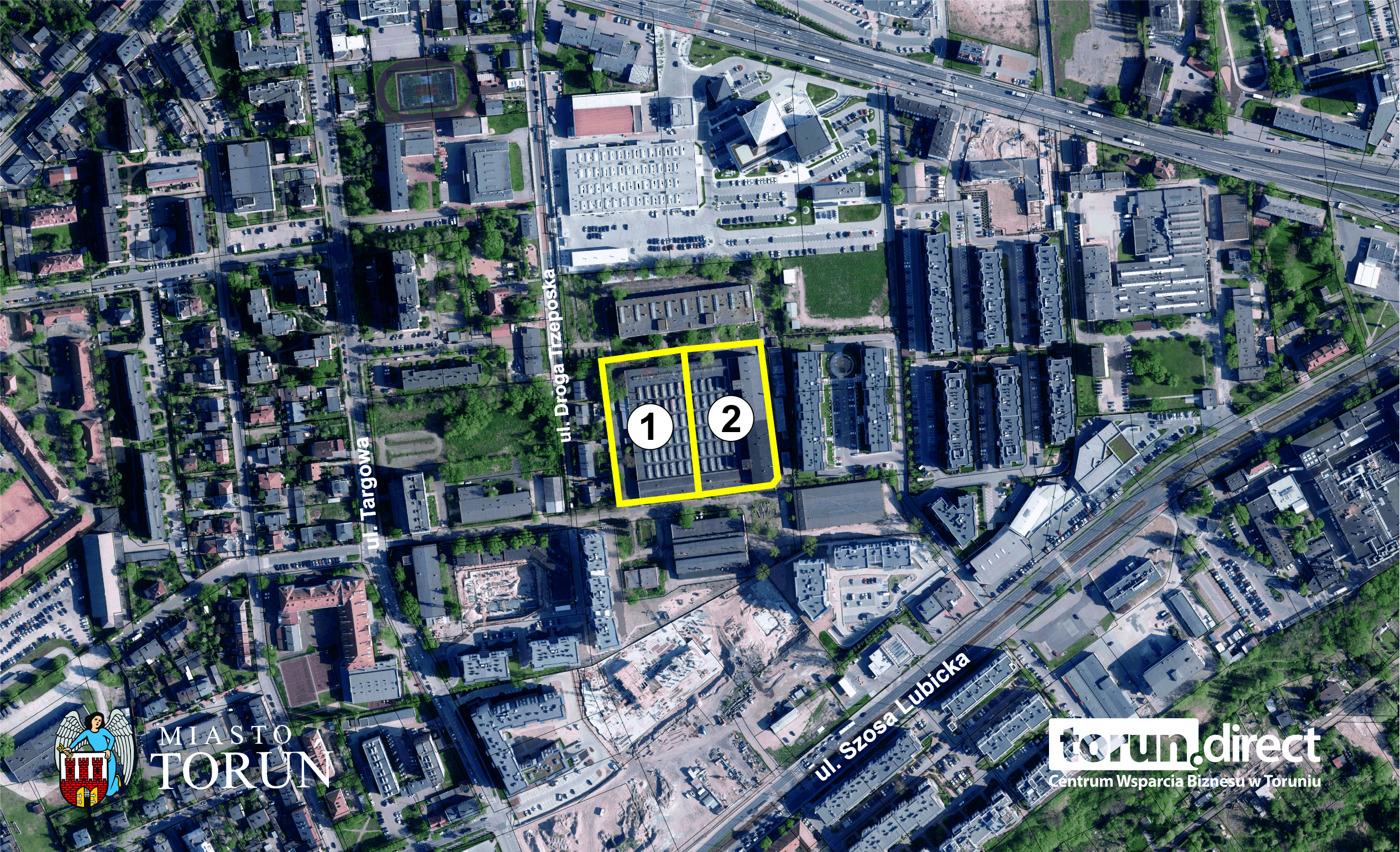
- area: 1,3808 ha
- ambit 56, plots N°: 145/13, 145/14
- number of plots: 2
- owned by State Treasury
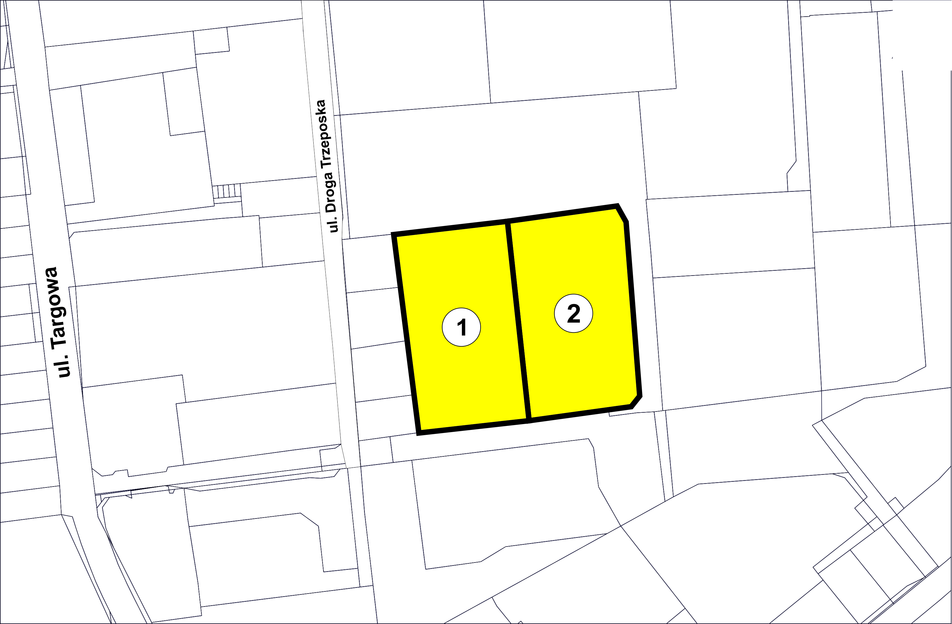
1. 16 Droga Trzeposka St.: plot N° 145/13 - 0,6910 ha
2. 16a Droga Trzeposka St.: plot N° 145/14 - 0,6898 ha
- intended use: services, multi-family residential development
- admissible use: internal roads, parking lots, greenery, technical infrastructure
- area marked with symbol 95.08 - U/MW6 symbol (City Council Resolution N° 412/16 of 06 October, 2016)
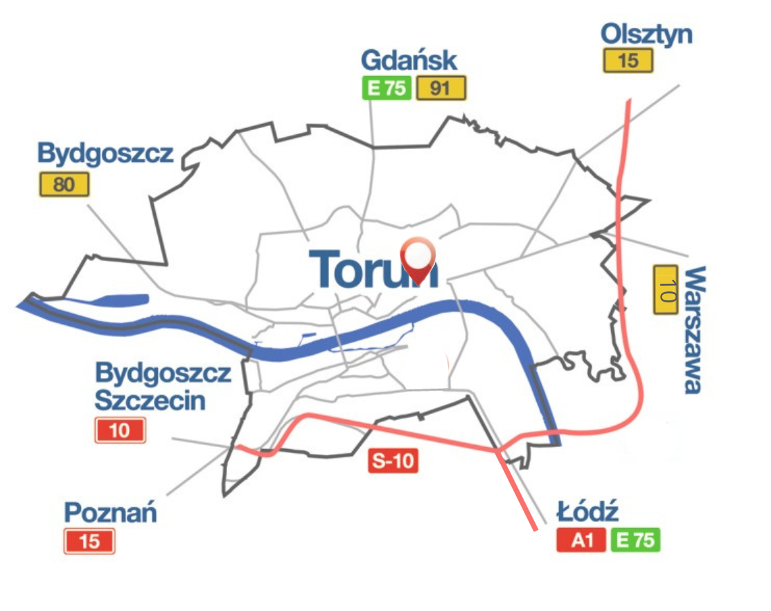
- the right bank part of the city of Toruń, “Jakubskie Przedmieście” housing estate
- undeveloped land property
- in the immediate vicinity of multi-family and single-family residential buildings, elementary school, retail and service outlets
- existing utilities within the boundaries of the plot and adjacent streets:
- electric power network,
- water distribution network,
- sanitary and rainwater drainage network,
- heating network,
- telecommunication network,
- gas network
Pobierz plik