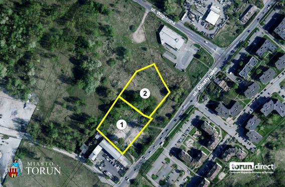
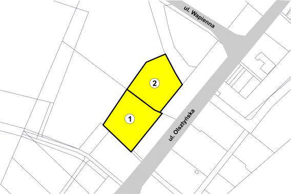
127 - 129 Olsztyńska St.
- area: 1, 0395 ha
- ambit 42
- number of plots: 2
- owned by the Municipality of the City of Toruń
- intended use: services
- 127 Olsztyńska St. (in the process od geodetic division) plots N° 35/61, 38, part of plot N°40 - 0,5547 ha
- 129 Olsztynska St. (in the process od geodetic division) plot N° 35/52 - 0,4848 ha
- intended use: services
- possibility of realization of a large-scale shopping center
- area marked with the 133.11-UC/U4 symbol (City Council Resolution No. 418/20 of 23 July, 2020)
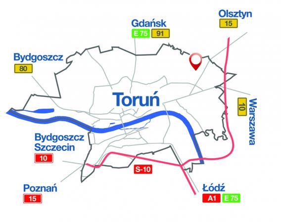
- the north-eastern part of the city on the exit road towards Olsztyn (National Road 15)
- undeveloped and wooded area
- in the vicinity of multi-family housing, service and production facilities, stores
- existing utilities in the vicinity of the property boundaries:
- power grid
- water distribution network - existing utilities located in neighboring streets:
- sewage network
- gas network
- telecommunication network
Pobierz plik


